Create dig events, drop field pins, invite detectorists by email and update everyone live when new areas become available.
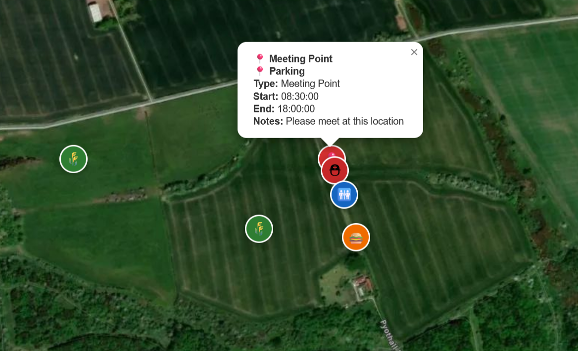
Dig Maps helps organisers manage meeting points, field access, attendee invites, navigation and live updates from one simple interactive event map.
Set up each event with a clear name, location and meeting point in just a few steps.
Add named fields and control which search areas become available throughout the day.
Generate secure event links and send them directly to attendees in bulk by email.
Help attendees drive straight to the event using direct Google Maps access from the event page.
Share accurate access points for rural locations, gateways and meeting points with ease.
New pins appear instantly on the map, helping everyone stay up to date while the event is live.
From creating the event to checking detectorists in on arrival.
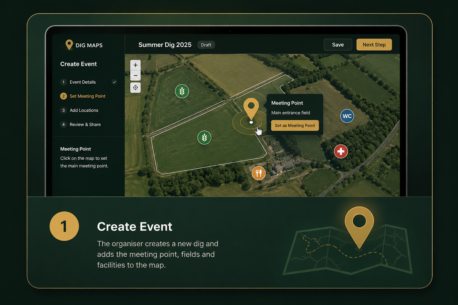
The organiser creates a new dig and adds the meeting point, fields and facilities to the map.
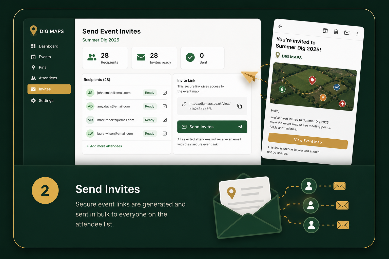
Secure event links are generated and sent in bulk to everyone on the attendee list.
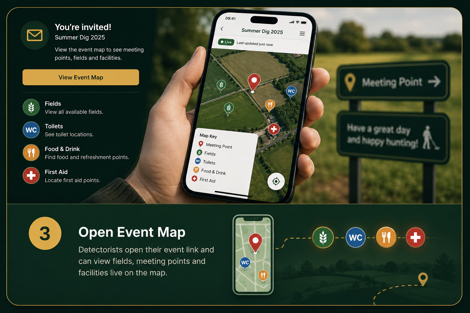
Detectorists open their event link and can view fields, meeting points and facilities live on the map.
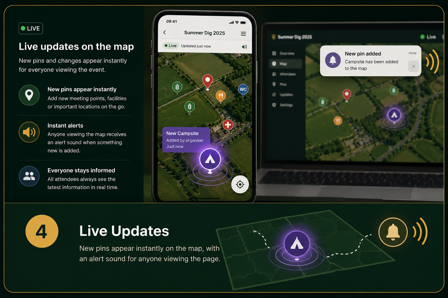
New pins appear instantly, with optional alerts for anyone currently viewing the event page.
Each attendee receives a private event link they can open on their phone to access the meeting point, directions, available fields, facilities and live updates from one simple event map.
Create events, guide detectorists to the correct fields and send live updates from one simple map.
Register Your Group